Lists
 Lists
Darko, Delphina Naa darkoa, Osman, Omar Abdillahi, Ardakanian, Atiyeh, Balodimou, Efcharis  ORCID: https://orcid.org/0000-0003-1249-3941, , ORCID: https://orcid.org/0000-0002-8411-6793 and ORCID: https://orcid.org/0000-0003-0291-9937
(2026)
Digitalisation and multi-modal integration of NDT and remote sensing data for coastal heritage monitoring: the Reculver Towers and Roman Fort demonstrator.
Engineering proceedings, 156 (1).
Preview |
PDF
DarkoD et al_Digitalisation and multi-modal integration of NDT and remote sensing data for coastal heritage monitoring.pdf - Published Version Available under License Creative Commons Attribution. Download (1MB) | Preview |
  Preview |
Image (JPEG)
Figure 1.jpeg - Supplemental Material Download (195kB) | Preview |
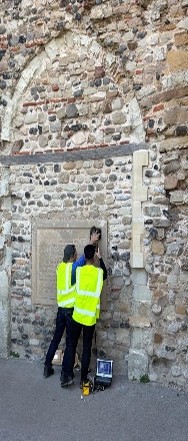  Preview |
Image (JPEG)
Figure 2.jpg - Supplemental Material Download (42kB) | Preview |
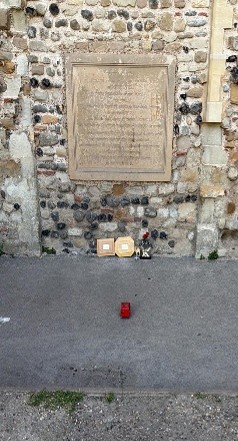  Preview |
Image (JPEG)
Figure 3.jpg - Supplemental Material Download (49kB) | Preview |
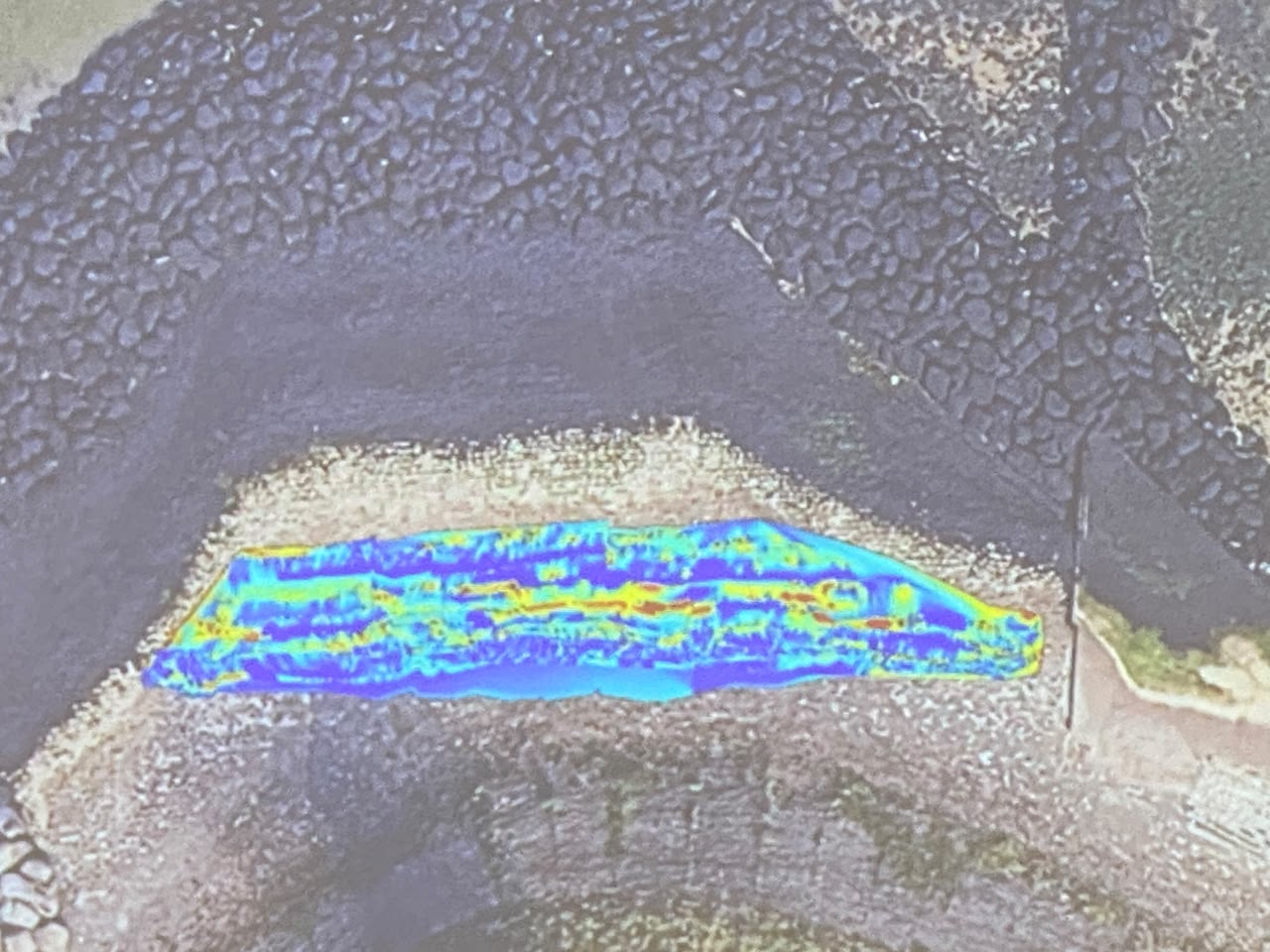  Preview |
Image (JPEG)
Figure 4b.jpeg - Supplemental Material Download (176kB) | Preview |
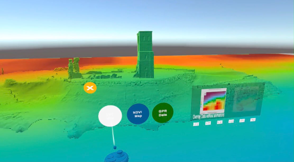  Preview |
Image (JPEG)
Figure 5.jpeg - Supplemental Material Download (56kB) | Preview |
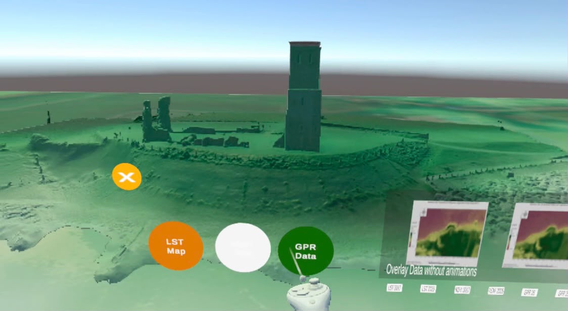  Preview |
Image (JPEG)
Figure 6.jpeg - Supplemental Material Download (64kB) | Preview |
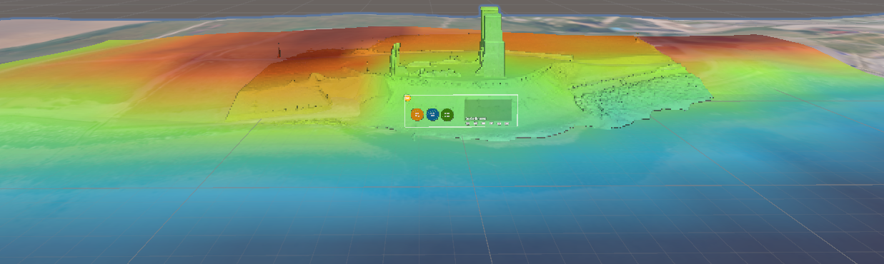  Preview |
Image (PNG)
LST Figure.png - Supplemental Material Download (402kB) | Preview |
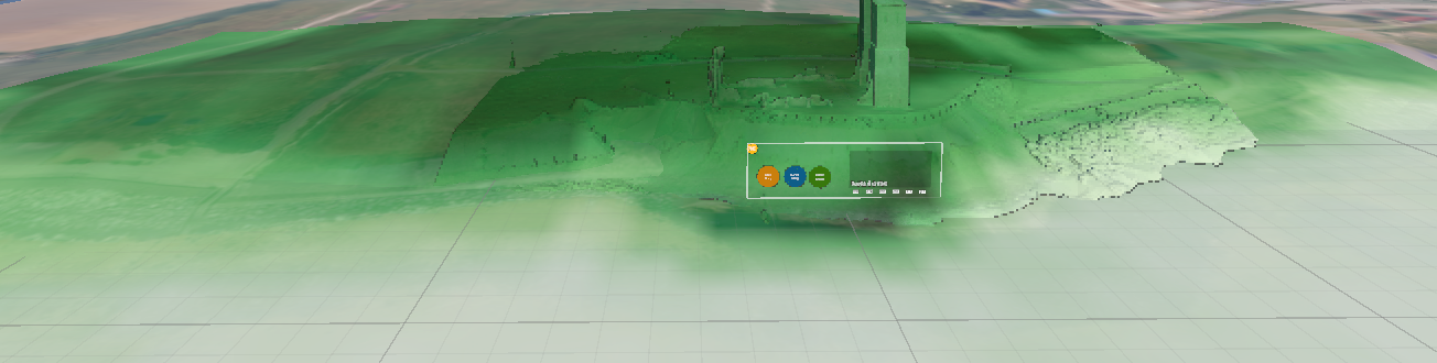  Preview |
Image (PNG)
NDVI Figure.png - Supplemental Material Download (428kB) | Preview |
  Preview |
Image (PNG)
Picture1i.png - Supplemental Material Download (66kB) | Preview |
  Preview |
Image (PNG)
Picture2i.png - Supplemental Material Download (72kB) | Preview |
  Preview |
Image (PNG)
Presentation1.png - Supplemental Material Download (647kB) | Preview |
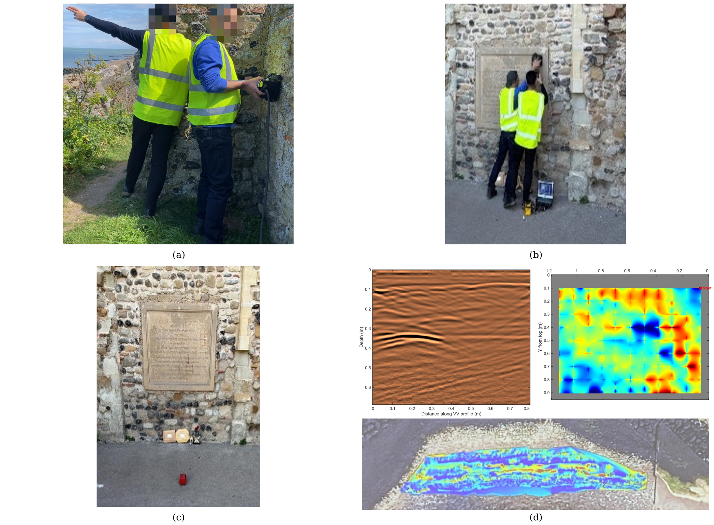  Preview |
Image (PNG)
Presentation2.png - Supplemental Material Download (6MB) | Preview |
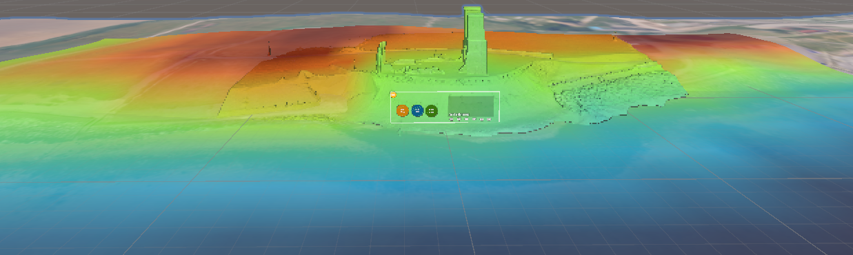  Preview |
Image (PNG)
Screenshot 2026-10-19 154830.png - Supplemental Material Download (402kB) | Preview |
  Preview |
Image (PNG)
Screenshot 2026-10-19 154925.png - Supplemental Material Download (428kB) | Preview |
Abstract
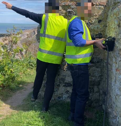
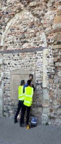
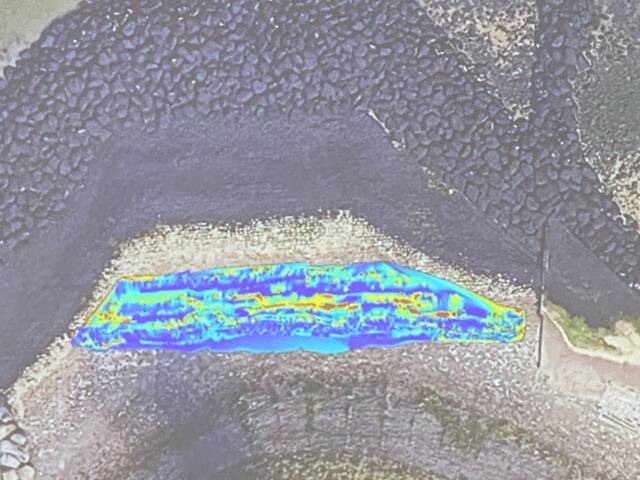
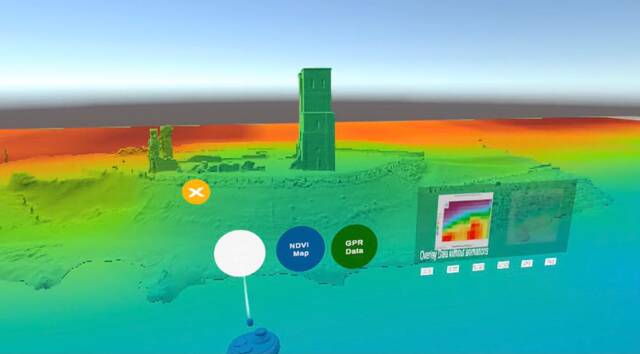
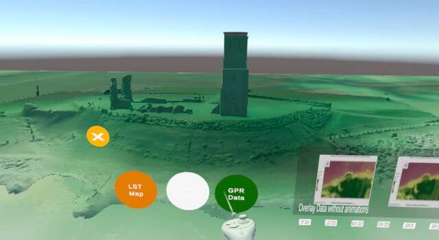
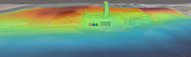
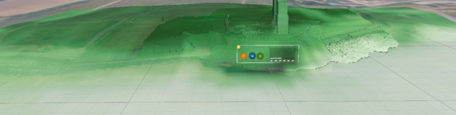
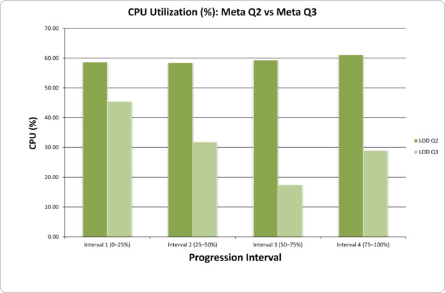
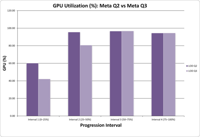
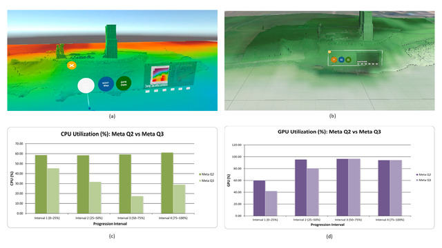
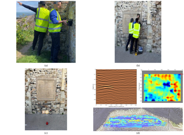
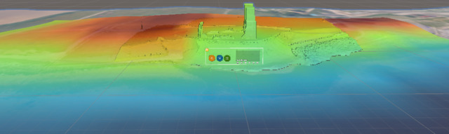
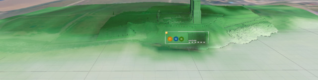
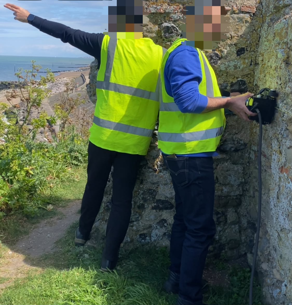
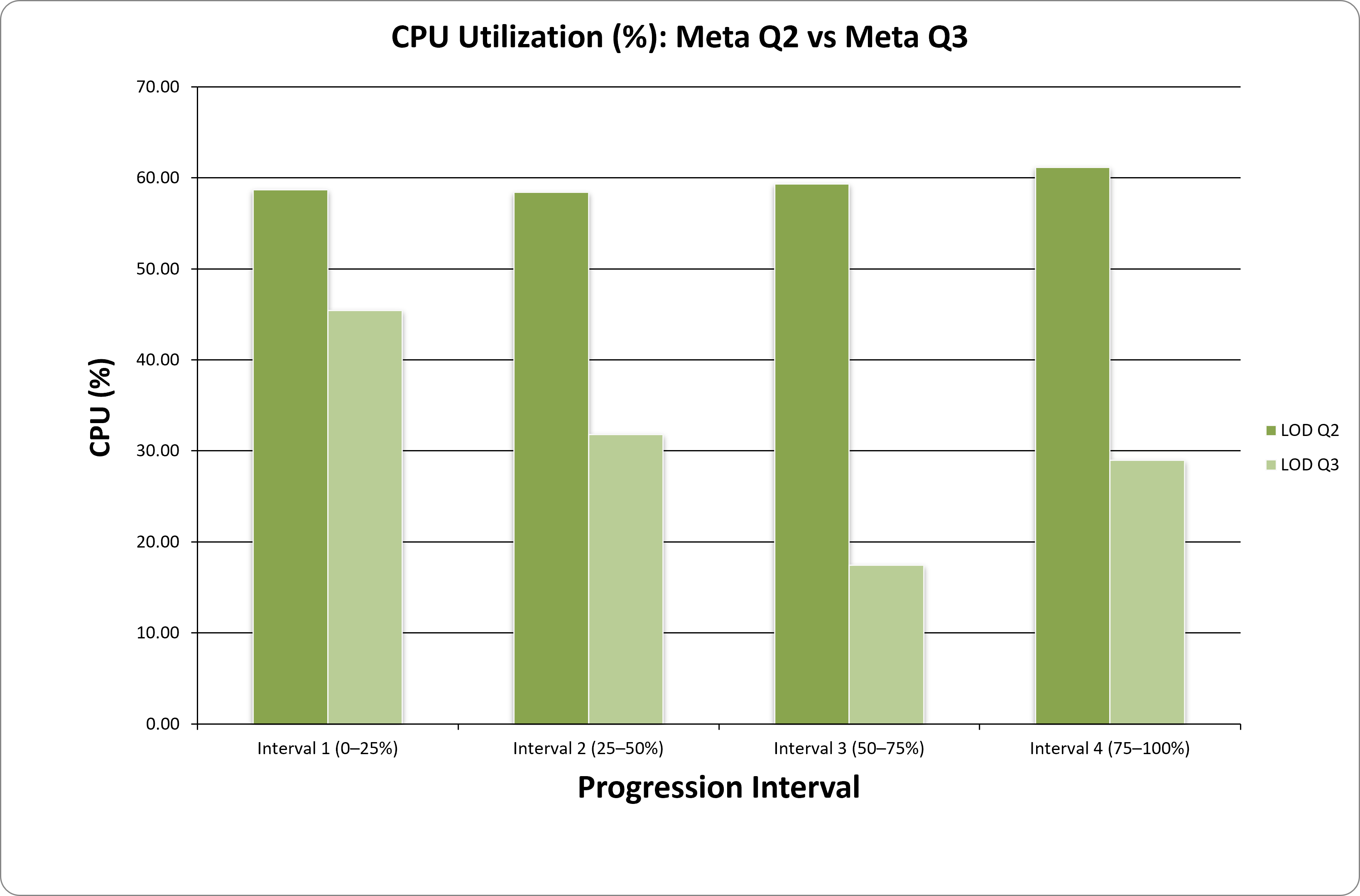
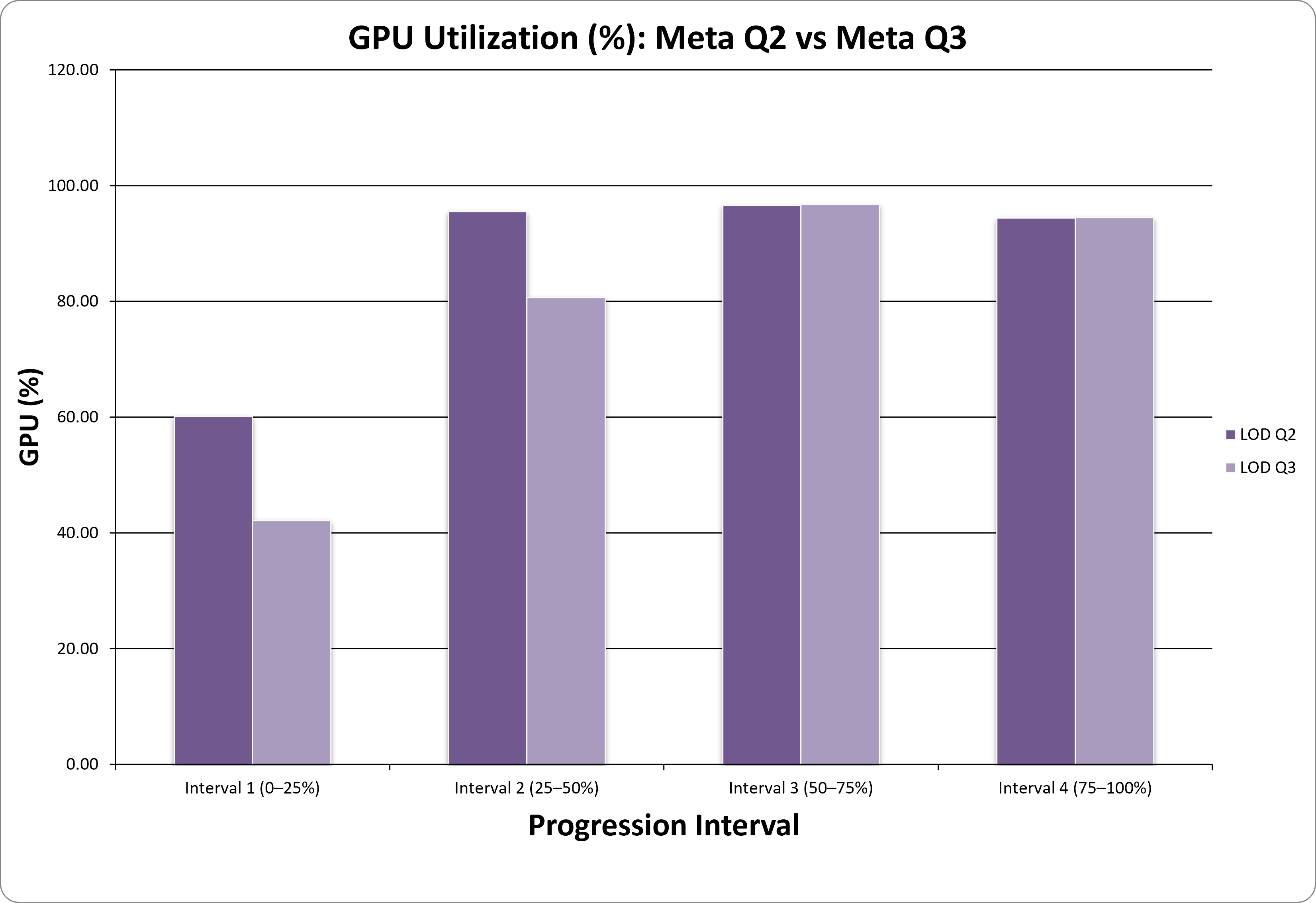
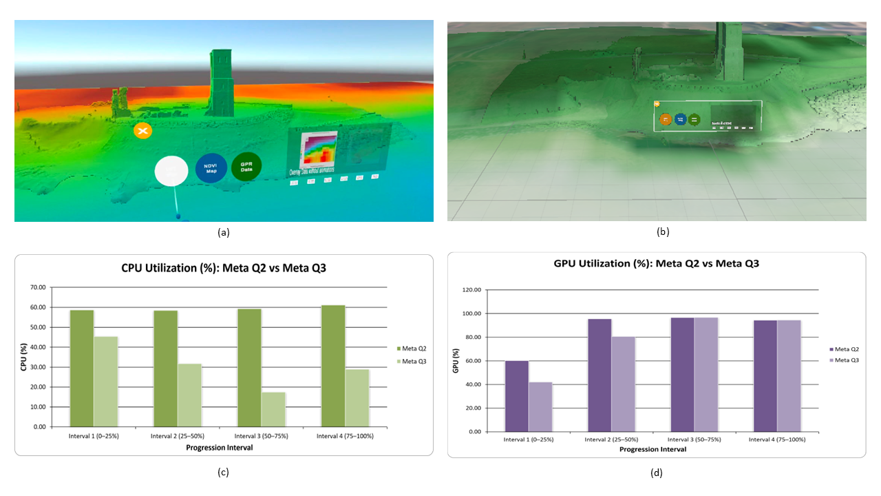
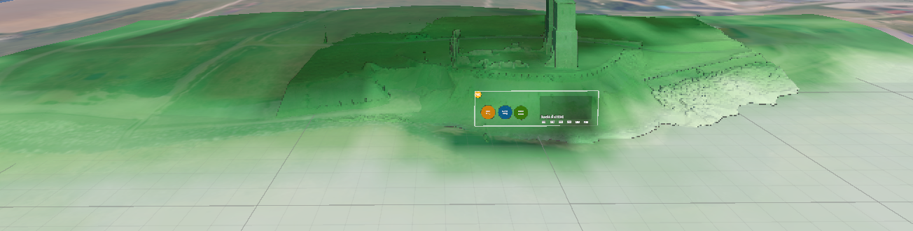
The digitalisation of Non-Destructive Testing (NDT) data is critical for the preservation of heritage assets under environmental stress. This paper presents the technical devel-opment of a digital demonstrator for the British Academy-funded project, BLUE-HeArTS (BLUE Heritage through Art, Technology, and Science), which connects scientific monitoring with artistic and historic educational narratives. The study focuses on the Reculver Towers medieval church and Roman Fort site in Kent, UK, a heritage site highly vulnerable to coastal erosion. To integrate complex, multi-modal data, a 3D dig-ital model was engineered in Unity. This digitalisation process combines high-resolution 3D laser scans of the towers and surrounding topography with surface-related remote sensing datasets, including the Normalized Difference Vegetation Index (NDVI) and Land Surface Temperature (LST) maps. Additionally, the model integrates subsurface NDT data, specifically topographically corrected Ground Penetrating Radar (GPR) ra-dargrams, to visualise the structural integrity of sea defence areas. By digitalising these diverse datasets, ranging from electromagnetic subsurface profiles to thermal surface maps, into a single immersive environment, the system supports a holistic representa-tion of climate-driven risks. To assess technical viability, performance was evaluated using established geospatial Extended Reality metrics. This formed the basis for frame-rate profiling across different hardware configurations, including Quest 2, and 3, to measure real-time rendering efficiency. Computational efficiency was further ana-lysed through GPU and CPU utilisation during dynamic data toggling. The performance analysis corroborates that rendering complexity remains a primary bottleneck, causing GPU overload and dropped frame rates. This establishes a technical foundation for her-itage and environment conservation digitalisation, highlighting the need for rendering optimisation.
| Item Type: | Article |
|---|---|
| Identifier: | 10.3390/engproc2026156009 |
| Keywords: | Digitalisation; NDT Data Fusion; Ground Penetrating Radar (GPR); Remote Sensing; Extended Reality (XR); Unity 3D; Coastal Heritage Monitoring |
| Subjects: | Construction and engineering > Digital signal processing > Remote sensing |
| Date Deposited: | 23 Oct 2026 |
| Dates: | Date Publication status 14 October 2026 Accepted |
| School, department or research centre: | School of Computing and Engineering |
| Keywords: | Digitalisation; NDT Data Fusion; Ground Penetrating Radar (GPR); Remote Sensing; Extended Reality (XR); Unity 3D; Coastal Heritage Monitoring |
| URI: | https://repository.uwl.ac.uk/id/eprint/15567 |
Downloads
Downloads per month over past year
Actions (admin access)
 |